Digital Mapping
Softcopy photogrammetric procedures are utilized to produce planimetric, topographic and digital terrain models (DTM) for a wide variety of applications. These include volume calculations, environmental assessment, engineering design, land development, accident scene analysis and many others. Digital deliverables are tailored to meet our clients exacting project requirements.
Aerial triangulation for our digital photogrammetric workstations is performed utilizing the ORIMA (Orientation Management) software by qualified photogrammetrists. ORIMA is a state-of-the-art bundle adjustment package that supports airborne global positioning system (ABGPS), inertial measurement unit (IMU) and field survey data.
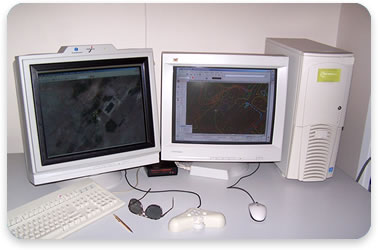
Throughout our 25+ years in business, we have continuously made every effort to develop the most effective approach for the collection, editing, and translation of digital planimetric and topographic data. Our success has been achieved by combining the on-going training of personnel with the most efficient hardware and software systems available.
Factors to consider when planning a mapping project:
 Final design, earthwork/volume computations
- Preliminary design, route location
- Preliminary project planning
- General planning, digital photo mosaic
- ABGPS acquired at time of photography
- IMU acquired at time of photography
- LiDAR acquired for project


