Aerial Photography
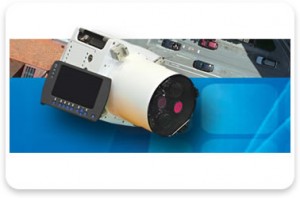
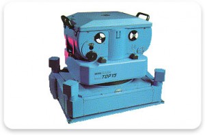
Project requirements, specifications and accuracy dictate the altitude in which aerial photography is acquired. Aerial photography for photogrammetric projects is obtained using either a fixed wing or helicopter platform with black/white, colour or colour infrared film or digital format.
Larger projects benefit from airborne global positioning system (ABGPS) navigation by greatly reducing the ground control required for mapping.
During film acquisition the coordinate values for each photo centre is recorded with an airborne global positioning system. Additionally an inertial measurement unit (IMU), in conjunction with the ABGPS, can be used to “sense” aircraft motion such as direction, rate and type of motion. The sensed data (IMU), ABGPS photo centres and ground control is used during the aerial triangulation process to register each of the frames to a known coordinate system for mapping/orthophoto/mosaic creation.