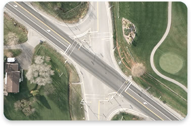
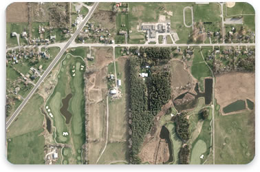
Digital Imagery
The true geographic locations of the image pixels are established by merging the image data and the geographically referenced digital terrain model (DTM). This process is carried out for each individual image frame. Upon completion of the rectification process the images are mosaiced together creating a seamless digital image.
An average density range for each of the images is determined and this range is extended throughout all of the mosaiced images for consistent tone and contrast. The digital images are reviewed to check for any image flaws such as blurring, blemishes, scratches or ghosting.
Orthophotography is provided on a variety of print media formats and an extensive selection of image formats for use in GIS applications and a variety of software platforms.